Looking to buy or invest in Lorain County property? Understanding flood and environmental risks is crucial. Use FEMA Flood Maps, Lorain County GIS tools, and the National Risk Index to identify high-risk zones, storm impacts, soil issues, and potential hazards. Check local resources like the County Auditor, Emergency Management, and Health Departments for property-specific insights, ensuring safer, informed decisions when evaluating homes or land in Lorain County.
As a real estate researcher in Ohio, I know that buying land or a home without checking for flood risks can be a costly mistake. While our site, Lorain County Property Search, is not an official government platform, we have compiled this 2026 guide to help you navigate FEMA maps, GIS tools, and environmental hazards like a pro.
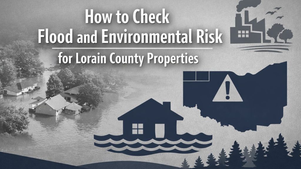
How to Check Flood and Environmental Risk in Lorain County.Flood Risk Assessment in Lorain County
Before you invest, it is vital to perform a professional Flood Risk Assessment. In Lorain County, many properties are located near Lake Erie or local rivers, making them prone to seasonal water shifts. You should always verify the Base Flood Elevation (BFE) of the parcel. If the land is in a high-risk zone, obtaining an Elevation Certificate can significantly lower your insurance premiums and ensure your construction plans meet local safety standards.
FEMA Flood Map Service Center Understanding Official Maps
The FEMA Flood Map Service Center provides official Flood Insurance Rate Maps (FIRMs) for Lorain County properties. These maps classify areas based on flood risk:
- High-Risk Zones: Marked A or V, indicating a 1% or greater annual chance of flooding.
- Moderate-Risk Zones: Marked Zone X (shaded) or 0.2%, representing areas between the 100-year and 500-year flood levels.
How to use FEMA maps: Enter your property address into the FEMA Flood Map Service Center to view its flood zone classification.
Lorain County GIS Mapping Tools
Lorain County’s GIS mapping platform allows property buyers to overlay flood zones, drainage ways, and ditch projects onto local parcels. This tool provides visual insight into potential water flow hazards, flood-prone areas, and ongoing county mitigation projects.
Key GIS features for property assessment:
| Feature | Purpose | Why It Matters |
|---|---|---|
| Flood Zone Overlay | Shows FEMA-designated zones | Helps identify high and moderate-risk areas |
| Drainage Paths | Maps ditches, streams, and stormwater flows | Ensures property won’t face unexpected flooding |
| Parcel Boundaries | Property-specific mapping | Confirms exact location relative to flood risks |
| Ditch Petition Projects | Active county water management plans | Reveals local mitigation and development plans |
Local Floodplain Administrators and Permitting
For properties within the 100-year floodplain, it is essential to consult the Lorain County Community Development Department. Permits may be required for construction, development, or major land alterations. Local guidance ensures compliance and reduces potential future liabilities.
Environmental & Natural Hazard Risks
National Risk Index for Lorain County
FEMA’s National Risk Index provides a county-level view of natural hazards, including:
- Tornadoes
- Severe storms and hail
- Earthquake potential
- Dam or levee failures
This index helps property buyers understand historical risk patterns and plan mitigation strategies accordingly.
Storm Water and Soil Quality Considerations
The Lorain County Storm Water Management District tracks soil stability, erosion, and stormwater concerns. If your property involves soil-disturbing activities, review stormwater management plans to ensure compliance. Poor soil quality or drainage issues can increase flooding risk and affect property value.
Checklist for stormwater and soil evaluation:
- Check soil type and stability on county GIS maps.
- Review stormwater permits and management plans.
- Verify local drainage and ditch systems near the property.
- Assess nearby construction or development projects that may impact water flow.
Hazard Identification and Risk Assessment (HIRA)
The county’s HIRA report documents historical events such as tornadoes, blizzards, and dam/levee failures. Property buyers should review HIRA to:
- Identify properties in historically affected areas
- Plan insurance coverage accordingly
- Incorporate mitigation measures in property development
Residential Environmental Health Lead and Radon Risks
Older homes (pre-1978) may contain lead paint, while radon exposure is a concern across Lorain County. The Ohio Department of Health provides homeowner checklists to assess:
- Lead paint hazards
- Radon levels and mitigation strategies
- Proper testing and remediation procedures
How to Use County Resources for Property Risk Guidance
Lorain County Auditor Property and Tax Maps
The Lorain County Auditor website allows buyers to:
- Access property parcel maps
- Review tax information
- Locate flood-prone or environmentally sensitive areas
Contact: 440-329-5207 | loraincountyauditor.gov
Lorain County Emergency Management Agency
For guidance on flood insurance and local hazard mitigation, the Emergency Management Agency provides:
- Flood alerts and risk updates
- Advice on insurance coverage
- Recommendations for property safety improvements
Contact: 440-406-3261
Step-by-Step Guide to Evaluating a Property
- Check FEMA Flood Maps for official high and moderate-risk zones.
- Overlay GIS maps to visualize local drainage, ditches, and parcel boundaries.
- Review HIRA reports for historical hazard events.
- Assess environmental risks like soil quality, radon, and lead.
- Consult local authorities (Auditor, Emergency Management, Community Development) for permitting and guidance.
- Document findings to make an informed, safe property investment.
Conclusion Make Informed Decisions for Safe Property Investment
Assessing flood and environmental risk in Lorain County is essential for safe property investment. By combining FEMA maps, GIS tools, county HIRA data, and environmental health checks, homeowners and investors can minimize risk, protect their property, and ensure long-term safety. Taking proactive steps now prevents costly surprises later.
FAQs
How do I check if my Lorain County property is in a flood zone?
Use FEMA Flood Map Service Center and Lorain County GIS maps
What is the National Risk Index and how does it help?
FEMA’s tool shows county-level natural hazards like storms, floods, and earthquakes.
Where can I find Lorain County GIS maps for property evaluation?
Access via the county’s GIS portal to overlay flood zones, drainage, and parcels.
How do I assess lead or radon risk in my home?
Use Ohio Department of Health checklists for pre-1978 homes and radon testing.
Who should I contact for floodplain development permits in Lorain County?
Contact Lorain County Community Development Department for guidance.